404 Page Not Found

We couldn't find that page. Try using the search bar above, chatting with Stanger on the homepage, or contacting the Web Office at webmaster@smsu.edu.
RESOURCES
SERVICES
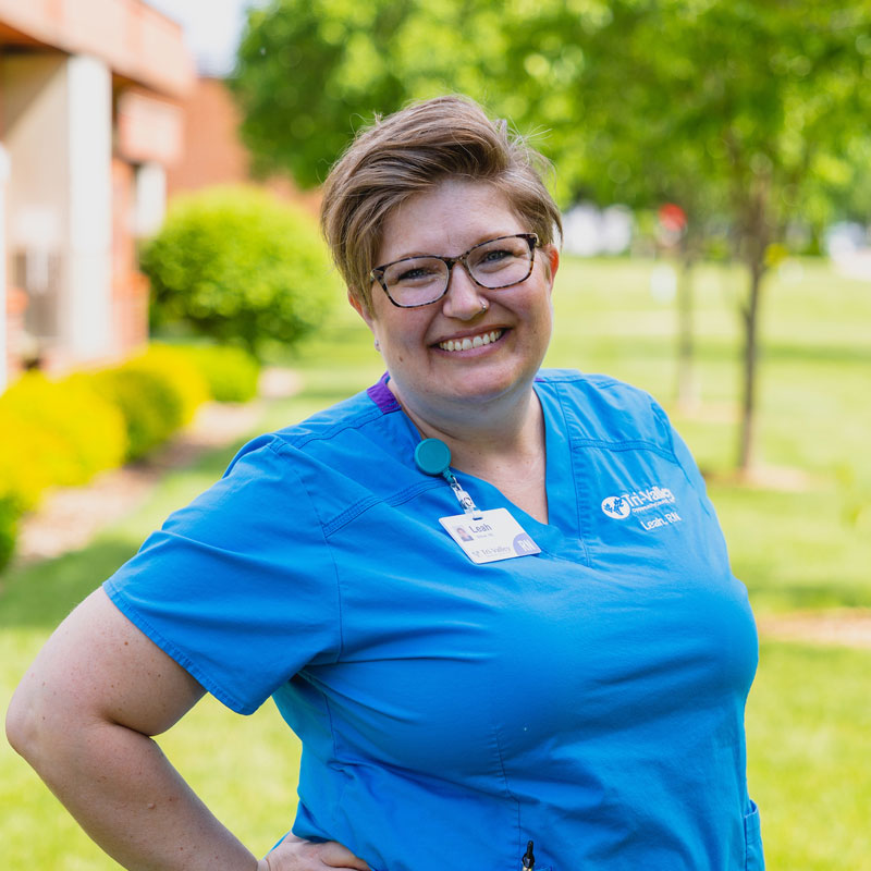
“The SMSU RN to BSN Program does not have you take a set amount of credits each semester. This flexible scheduling was perfect for me as it allowed me to vary the amount of credits I took each semester. I would have struggled without that flexibility as I am a non-traditional student who is also a wife, mother of four, and worked full time while completing my degree. This program is designed to fit into your life, whether you want to be a full-time or part-time student.”
We couldn't find that page. Try using the search bar above, chatting with Stanger on the homepage, or contacting the Web Office at webmaster@smsu.edu.